
The Borders’ lush countryside, rounded hills and wooded valleys have more walks than you can shake a stick at. So before you go galloping off to the heart-stopping Highlands on a Munro bagging mission, it’s worth checking out the magic of the southern regions’ gentler, though just as glorious, rambles and hikes. We’ve rounded up a few of our favourite walks that take in a quartet of ancient abbey ruins, glorious coastal paths stuffed with seabird colonies, green, leafy valleys, the Borders’ infamous trio of rolling peaks, and more.
Borders Abbey Way
The Borders Abbey Way links a fine quartet of ancient abbeys over a 66-mile route. The trail is well signed and mostly flat, following gentle terrain throughout, and can be completed in sections. Start with the elegant Melrose Abbey, founded in 1136, although what you see today dates from the early 15th century. Decorated by unusual sculptures – look out for the bagpipe-playing pig – it’s also said that Robert the Bruce’s heart is buried here. Kelso Abbey’s grand Romanesque architecture dates back to the 12th century and was one of the largest and richest holy houses in the land. Hop to Jedburgh Abbey next. Built in the Romanesque and early Gothic styles, it’s remarkably well-preserved, with an 8th-century shrine on display and a pretty herb garden to wander. Finally, finish up at the imposing Dryburgh Abbey, a fine example of Gothic architecture set in peaceful grounds and the burial place of Sir Walter Scott.
Heatherhope Valley Circular
This is a stunning 10.5-mile circular walk along an ancient drovers road, taking in lonely standing stones and historic hill forts, above the glorious Heatherhope Valley. Starting from the tiny village of Hownam on the fringe of the Cheviot hills, head towards Hownam Rings Iron Age hill fort with views on a clear day to Hownam Law, then follow the old drovers road (The Street) to Alwinton. Next you’ll approach Blackbrough hill fort down a heather-splashed track. The earthworks here are remarkably well-preserved and it’s a sheltered spot – perfect for a picnic. Now back to The Street for a climb up to Calroust Common and on to Greenbrough Hill, where the leftmost hillock is the site for the third hill fort of the walk. Follow the Border Ridge above the gorge of Muckle Sund Hope, with stunning views looking down to Heatherhope Valley, before you descend, cross the burn, pass the reservoir and wander back into the village.
John Buchan Way
Named after the thriller writer, John Buchan, this 13-mile walk connects Broughton and Peebles and twists through the emerald hills and leafy valleys of Tweeddale. After a visit to the John Buchan Centre in Peebles, where you can learn about his extraordinary life, you walk up to Cademuir Hill, where you’ll spot hill forts and spy fabulous views back to Peebles. Follow the path down past a pine plantation, over a bridge, then up to The Glack with more lovely views over the valley. Soon you reach a bridge over the Tweed River and arrive into Stobo where you’ve reached the halfway point and can bus back to Peebles or push on to Broughton. The next section feels gloriously remote as the track climbs uphill with views to Penvalla and Broughton Heights. Cross the footbridge over Hopehead Burn then climb towards the clear gap in the hills ahead before descending into Broughton.
Receive our guides, destination ideas and insider travel tips straight to your inbox
Sign up

The Pennine Way walk
The UK’s oldest trail, The Pennine Way, meanders 268 miles from the hills of Derbyshire, over Hadrian’s Wall, and into the Cheviot Hills. Its endpoint in Kirk Yetholm is your start point for this superb 8.5 mile circular walk, which also forms part of St Cuthbert’s Way. Cross over the burn and go steeply up onto the Border Ridge, where you’ll glimpse an Iron-Age hill fort before spectacular views open up. Follow the ridge for about 2.4 miles, with glorious vistas looking out to Curr hill, before descending through deep valleys, then up again until you see the Cheviots. The Pennine Way continues along the ridge but you follow the route back to Kirk Yetholm with the option to climb to an eye-catching outcrop, Corbie Craig, for a picnic before heading back over the burn and into town.
St Abb’s Head walk
St Abb’s Head has a blowy 4-mile circular walk with fabulous North Sea views, dramatic coastal cliffs and vast seabird colonies. Starting at the NT car park at the entrance to the National Nature Reserve – home to thousands of nesting seabirds, wildfowl and other migratory birds – follow the path with Mire Loch stretching out below you. The path links with the Berwickshire Coastal Path here and you have the option to scramble up the cliffs for wondrous views (careful though, the edges are unfenced) or continue on the route around the head. Next you come to a lonely lighthouse. Built in 1862, it marks the southern entrance to the Firth of Forth. Originally manned by three people, it’s now automated. The paths around the cliffs are dotted with benches, the views in all directions are delightful and you can pop down to the village for cafes and a seasonal visitor centre.
Eildon Hills Three Peaks walk, Melrose
This 6-mile walk from the pretty town of Melrose into the three rounded peaks of the Eildon Hills is an energetic half day ramble. Follow the St Cuthbert’s Way route out of town, climbing up through heathery fields with lovely views back to Melrose. Head between the two visible hills, the remains of an ancient underground volcanic eruption, until you leave the St Cuthbert’s Way trail and branch onto a steep climb up Eildon Mid Hill. The path gets narrow and rocky here but soon you arrive at the top of the mid hill – marked by a trig point and a view indicator – with some of the finest vistas in the Borders to marvel at. To reach Eildon Wester traverse the flat area between the hills before climbing a short steep section up to the tiny cairn which marks the summit. Now it’s on to the large, flat grassy summit plateau of Eildon Hill North – site of a huge bronze age fort – with superb views down to Melrose Abbey. There are steep stone steps down from here and you can detour to Rhymer’s Stone before joining the Borders Abbey Way back to Melrose.
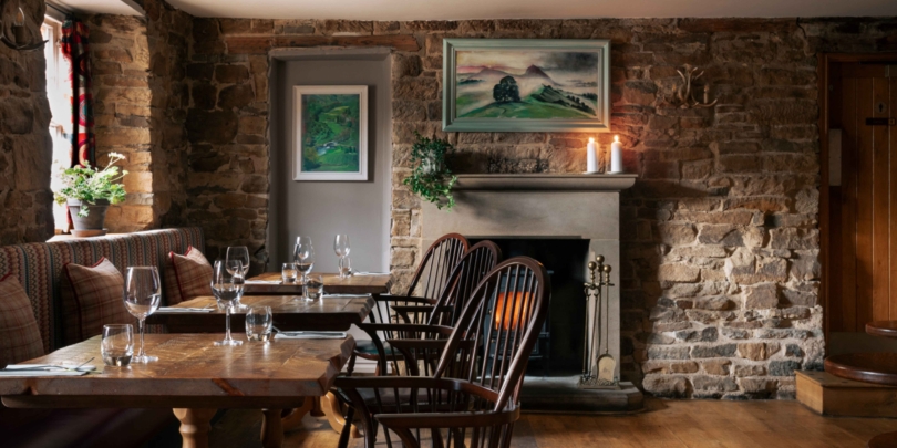
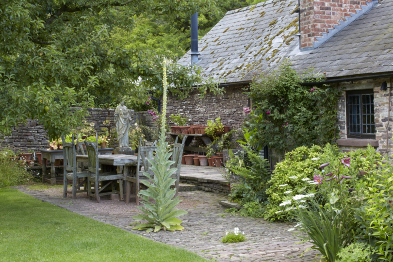
Browse all our special places to stay in the Scottish Borders >

Carmen McCormack
Guest Expert
Carmen is a freelance writer specialising in travel. She once lived in a bus in north Wales, skipped off to study in Barcelona, and now calls Bristol home. When she’s not tapping away on her laptop, she can be found reading (a lot), lake swimming (a little), and pottering on the allotment with husband and two kiddos. She’s currently dreaming about cold cerveza and torta in Mexico.
You might also like
Peaks and Pints: some of the best pub walks in the Peak District National Park

Beth Tingle
5 min read

Five great pub-to-pub walks

Christopher Wilson-Elmes
Sawday's Expert
5 min read
What’s growing on? Five of our owners on how their gardens are shaping up in Spring

Nicola Crosse
Sawday's Expert
5 min read